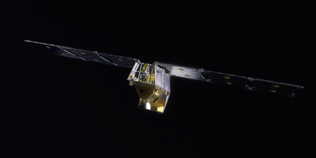
Google’s FireSat initiative is a partnership between Google Research, Muon Space, the Earth Fire Alliance, and the Moore Foundation, for early wildfire detection and mitigation. The first FireSat was launched from Vandenberg Space Force Base in California aboard SpaceX’s Transporter-13 mission on March 15, 2025.
It is the first satellite in this constellation designed to identify wildfires as small as 5×5 meters within 20 minutes. This capability is crucial, especially as wildfires become more frequent and devastating due to climate change.
“FireSat represents the latest addition to Google Research’s efforts to improve wildfire tracking and understanding, ultimately benefiting communities around the globe,” said Google in an article.
The FireSat constellation will eventually consist of over 50 satellites, significantly improving global coverage and monitoring capabilities. As these satellites become operational, they will transform how we detect and manage wildfires, providing critical information that can lead to quicker and more effective responses.
The Technology Behind FireSat

FireSat utilizes advanced artificial intelligence to analyze real-time images from its onboard sensors. By comparing these images with historical data, the satellite can quickly determine if a fire is present. This is a game-changer compared to traditional methods that often rely on low-resolution imagery and are updated infrequently, leading to delayed responses.
Collaboration and Funding
The project is a collaboration between Google Research, Muon Space, the Earth Fire Alliance, and the Moore Foundation. Google.org has invested $13 million to support this initiative, reflecting the company’s commitment to leveraging technology for environmental solutions.
Impact on Wildfire Management
With its ability to provide near real-time data, FireSat enhances the capacity of emergency responders to act swiftly against wildfires. This could potentially save lives and reduce damage to property and ecosystems. The satellite’s data will also contribute to a global record of fire behavior, aiding scientists in understanding and modeling wildfire dynamics better.